Log in
All resources
Create a design
33,693 Free Images of 1600 Maps
maps in the library of congress
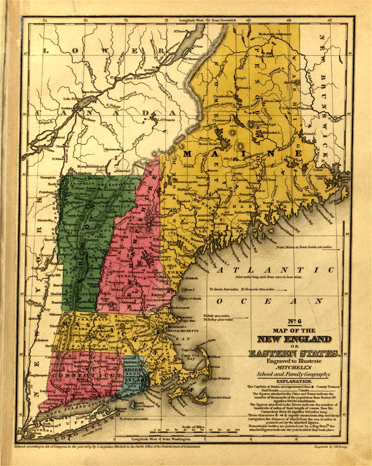
mitchell's school atlas
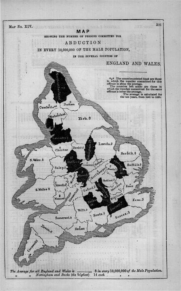
maps in london labour and the london poor (1851)
carte de france
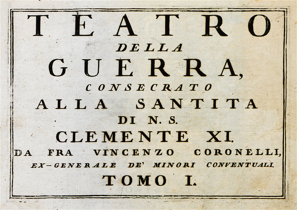
geographical illustrations by coronelli
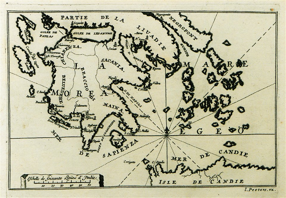
old maps of the peloponnese
lepsius-projekt - maps
daugava
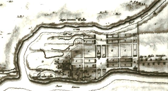
old maps of belarus
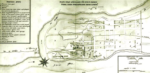
historical images of drysa
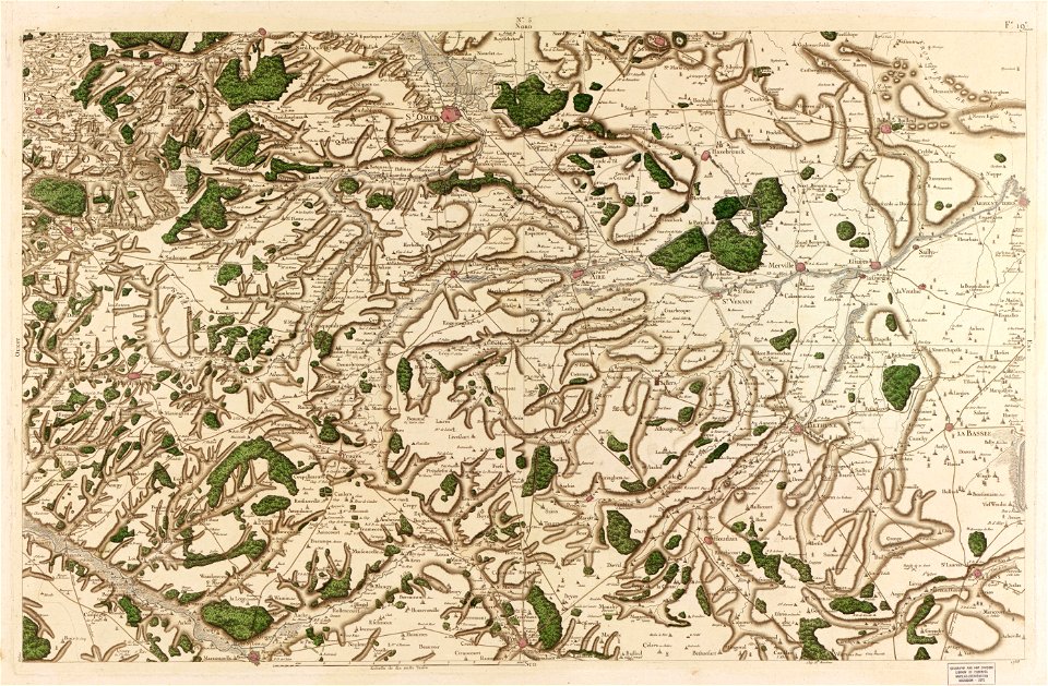
maps in the library of congress
carte de france
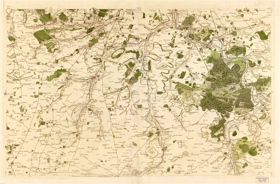
maps in the library of congress
carte de france
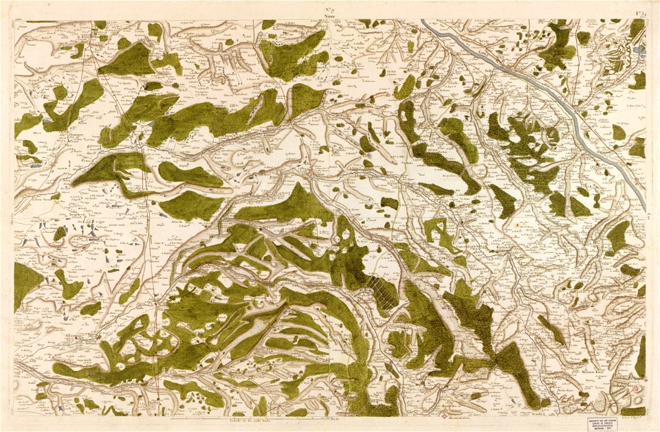
maps in the library of congress
carte de france
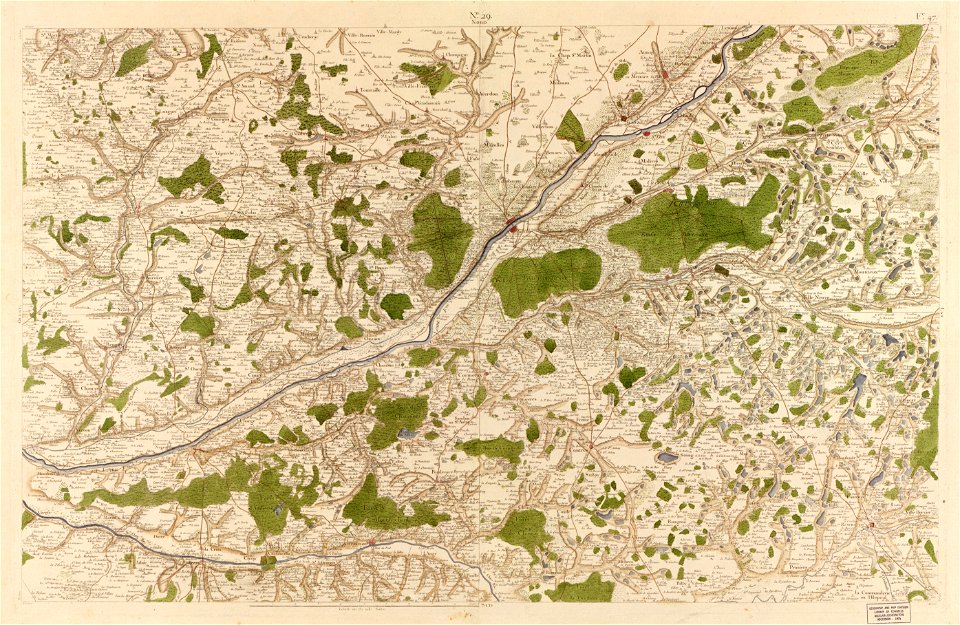
maps in the library of congress
carte de france
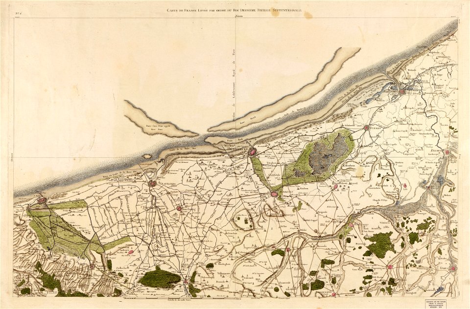
maps in the library of congress
carte de france
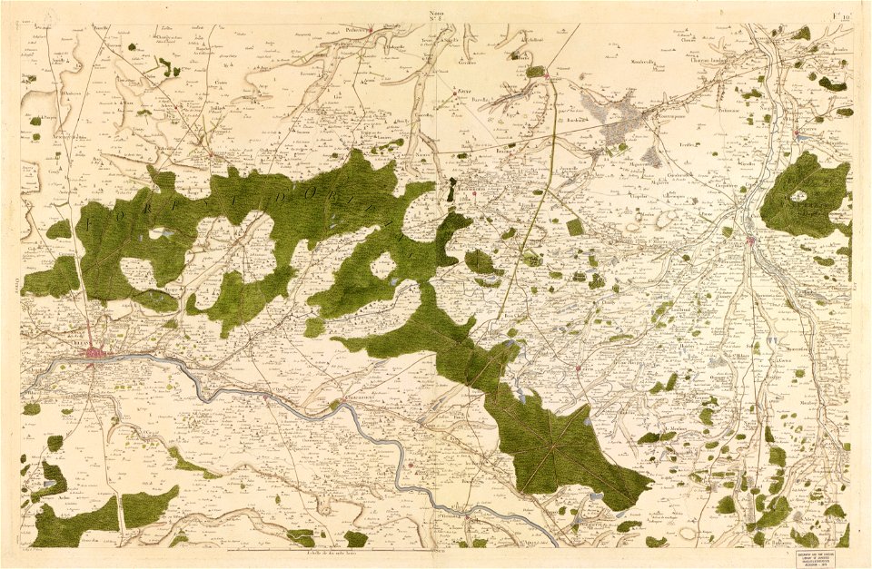
maps in the library of congress
carte de france
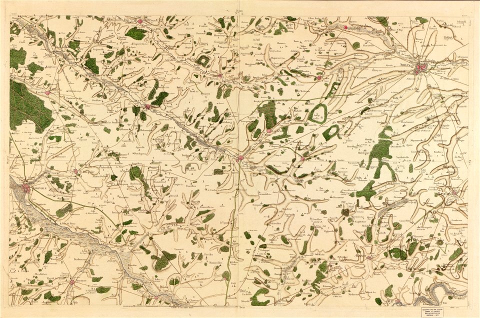
maps in the library of congress
carte de france
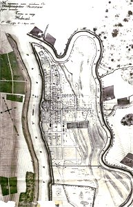
old maps of belarus
daugava
old maps of belarus
daugava
old maps of belarus
daugava
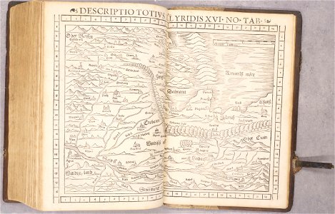
maps of dalmatia
1552
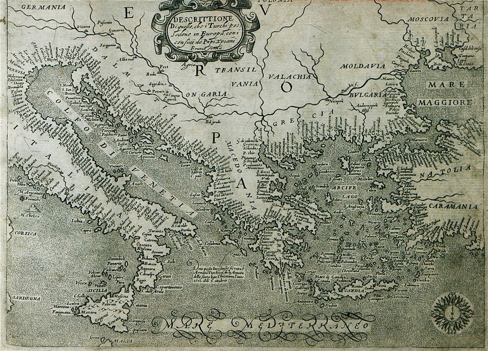
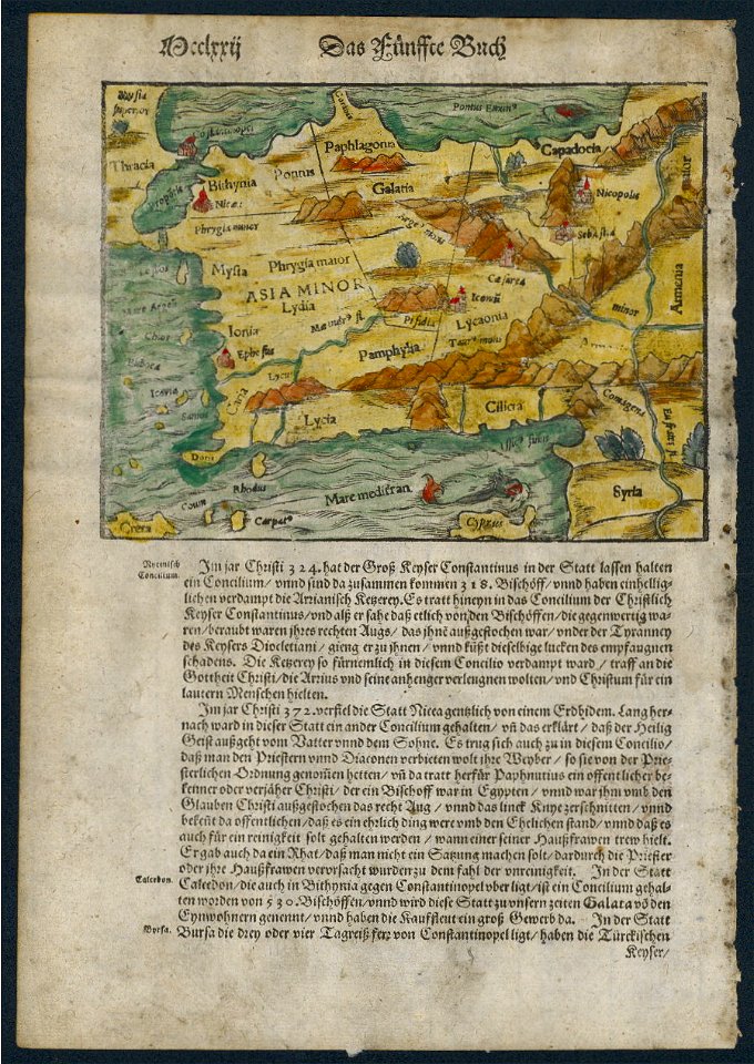
16th-century maps of the ottoman empire
giuseppe rosaccio
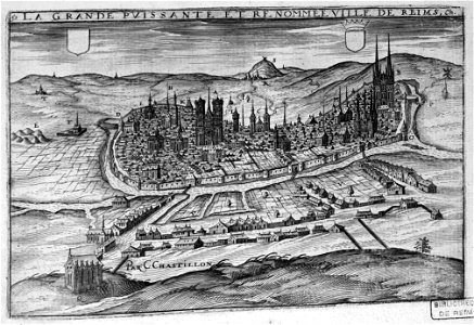
bibliothèque municipale de reims
chgg 16
bibliothèque municipale de reims
maps of reims
bisset's magnificent guide (1808 edition)
old maps of birmingham
geographical illustrations by coronelli
old maps of the peloponnese
geographical illustrations by coronelli
old maps of the peloponnese
geographical illustrations by coronelli
old maps of the peloponnese
geographical illustrations by coronelli
old maps of the peloponnese
description des principales villes (1690)
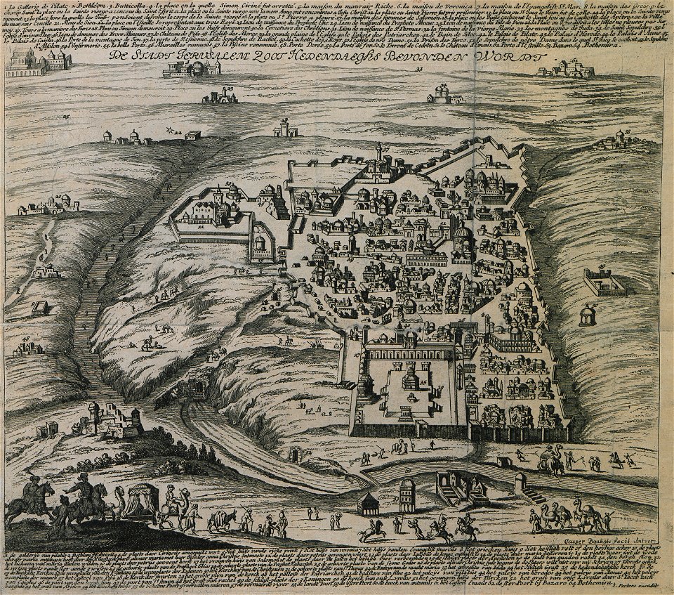
old maps of jerusalem
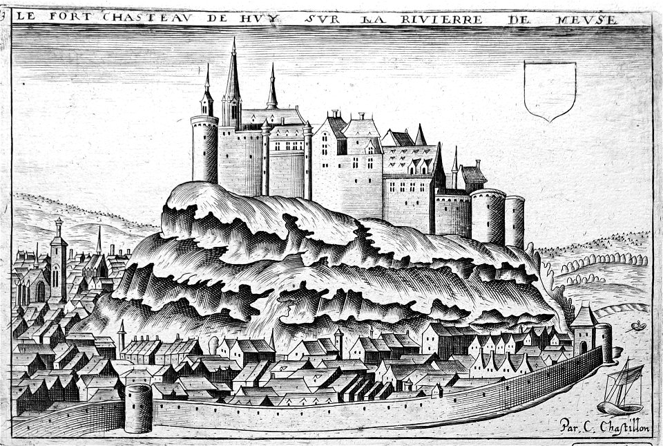
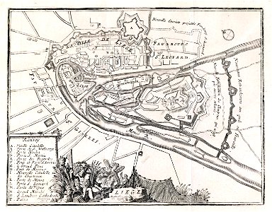
maps of liège in the 17th century
la batte
19th-century maps of stockholm
street lights in stockholm
maps in the library of congress
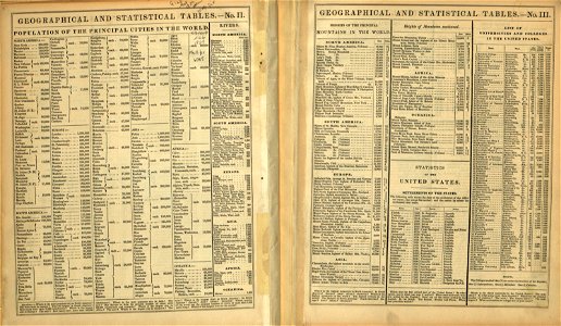
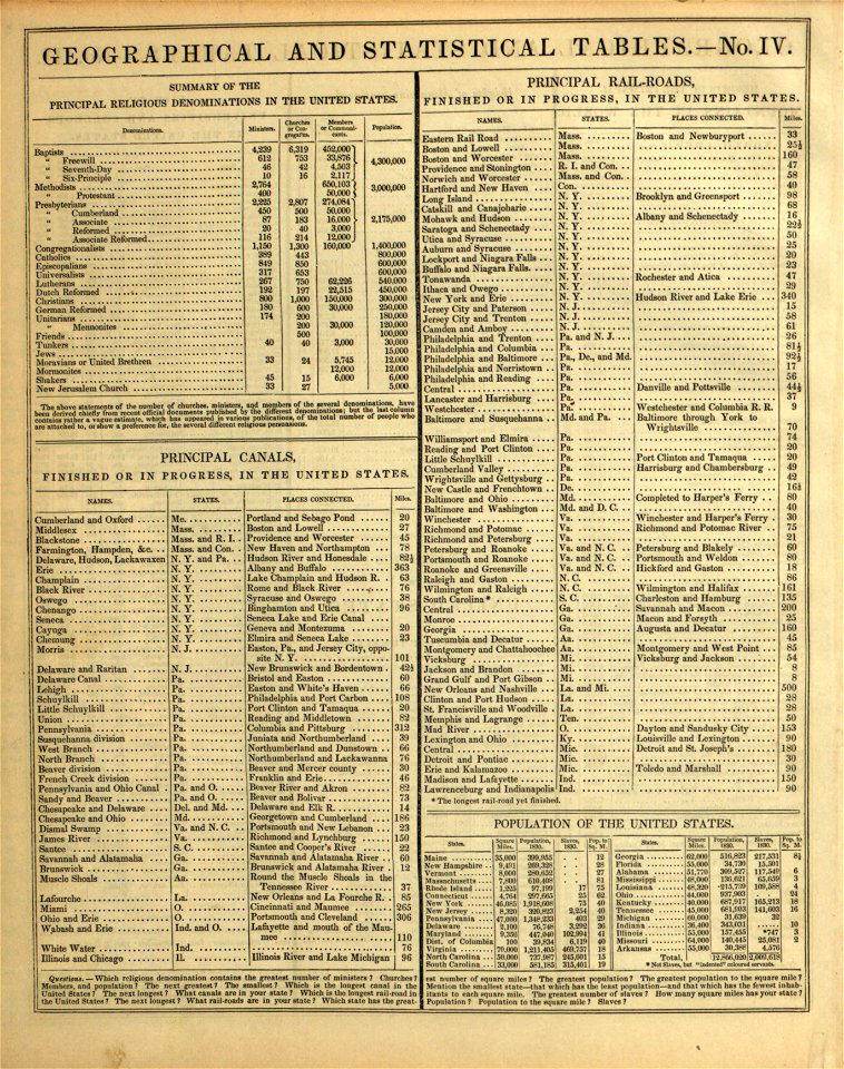
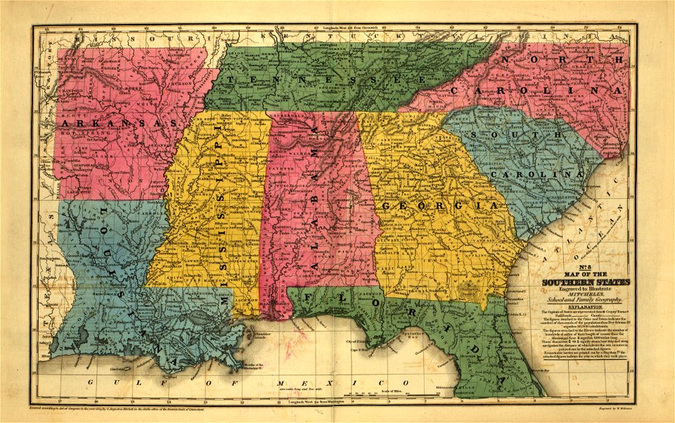
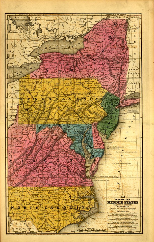
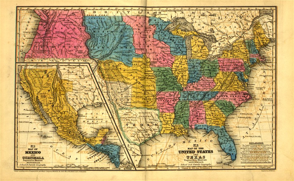
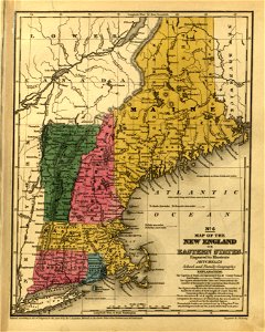
mitchell's school atlas
maps in the library of congress
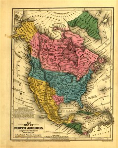
mitchell's school atlas
maps in the library of congress
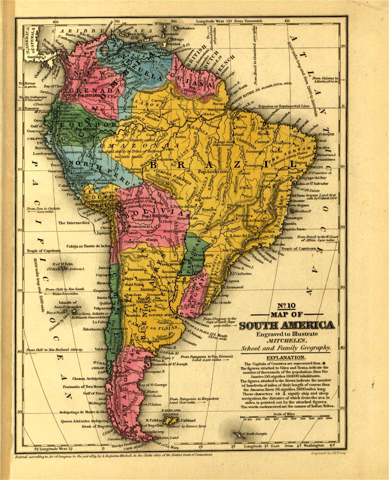
mitchell's school atlas
maps in the library of congress
mitchell's school atlas
maps in the library of congress
mitchell's school atlas
maps in the library of congress
mitchell's school atlas
maps in the library of congress
mitchell's school atlas
maps in the library of congress
mitchell's school atlas
maps in the library of congress
mitchell's school atlas
maps in the library of congress
mitchell's school atlas
maps in the library of congress
mitchell's school atlas
maps in the library of congress
mitchell's school atlas
maps in the library of congress
mitchell's school atlas
maps in the library of congress
mitchell's school atlas
maps in the library of congress
mitchell's school atlas
maps in the library of congress
mitchell's school atlas
maps in the library of congress
mitchell's school atlas
maps in the library of congress
mitchell's school atlas
maps in the library of congress
mitchell's school atlas
maps in the library of congress
mitchell's school atlas
maps in the library of congress
mitchell's school atlas
maps in the library of congress
mitchell's school atlas
maps in the library of congress
mitchell's school atlas
maps in the library of congress
mitchell's school atlas
maps in the library of congress
mitchell's school atlas
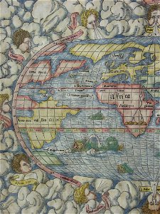
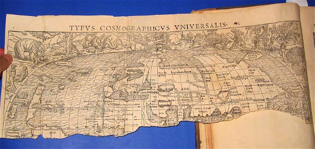
cosmographia (1588) by sebastian münster
old maps of asia
itinerarium hierosolymitanum et syriacum..., 1619
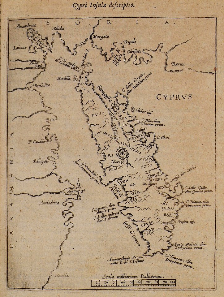
old maps of cyprus
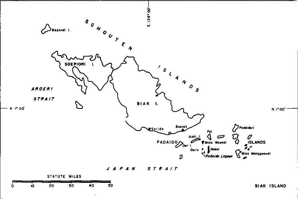
1940s maps of indonesia
biak
le cento città d'italia (modena)
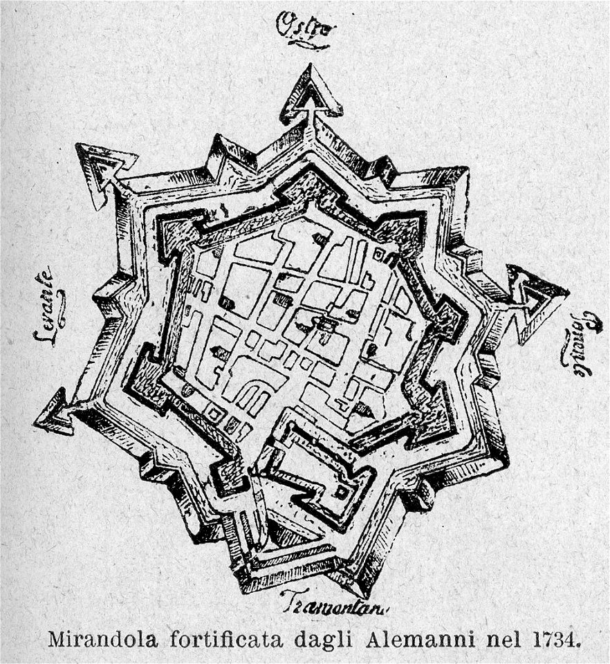
old maps of mirandola
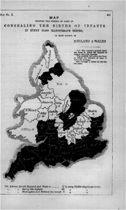
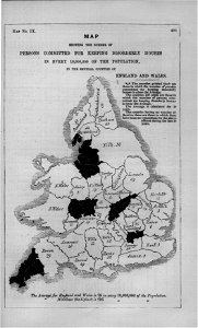
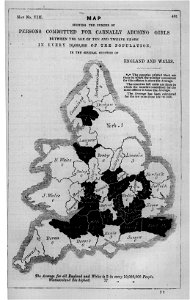
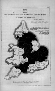
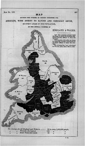
maps in london labour and the london poor (1851)
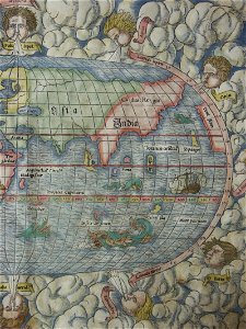
illustrations of cosmographia (münster)
old maps of the world
maps of liège in the 18th century
jacobus harrewijn
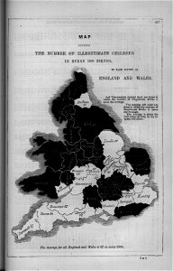
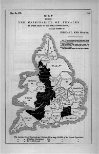
maps in london labour and the london poor (1851)
maps in london labour and the london poor (1851)
maps in london labour and the london poor (1851)
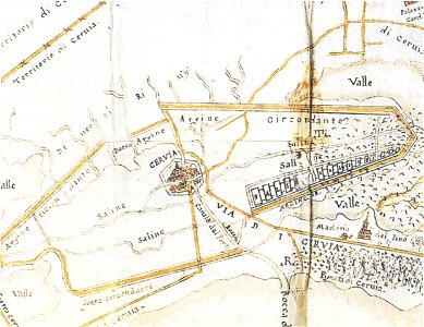
historical images of cervia
old maps of emilia-romagna
maps in london labour and the london poor (1851)
illustrations of cosmographia (münster)
old maps of the world
itinerarium hierosolymitanum et syriacum..., 1619
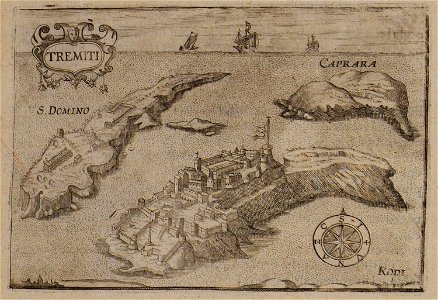
maps of isole tremiti
maps in london labour and the london poor (1851)
maps in london labour and the london poor (1851)
maps in london labour and the london poor (1851)
maps in london labour and the london poor (1851)
illustrations of cosmographia (münster)
old maps of the world
maps in london labour and the london poor (1851)
maps in london labour and the london poor (1851)
maps in london labour and the london poor (1851)
maps in london labour and the london poor (1851)
maps in london labour and the london poor (1851)
maps in london labour and the london poor (1851)
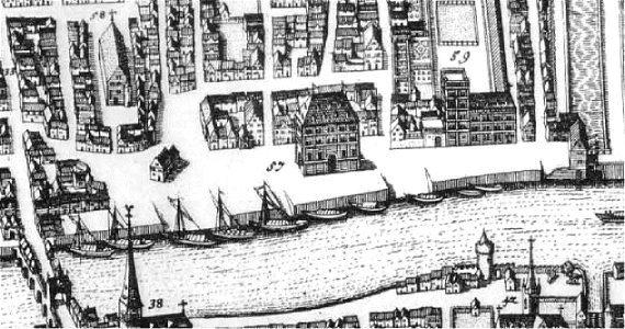
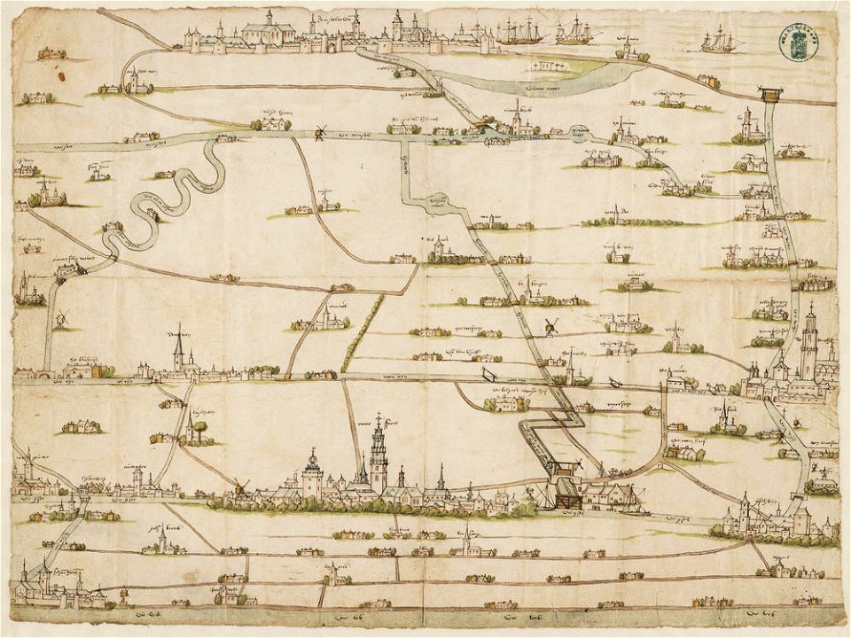
drawings in the stadsarchief amsterdam
old maps of amsterdam
description des principales villes (1690)
old maps of greece
geographical illustrations by coronelli
old maps of the peloponnese
el-lahun
meidum
lepsius-projekt - temples
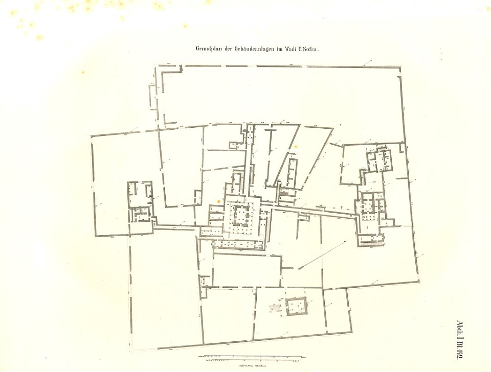
lepsius-projekt - maps
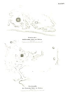
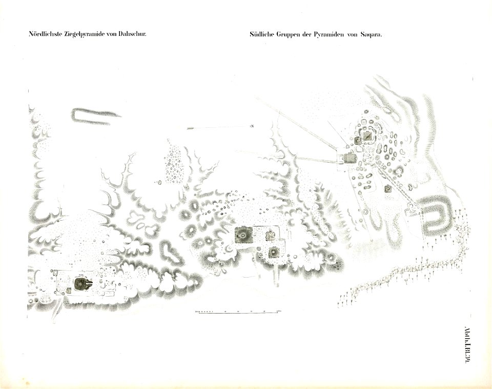
saqqara pyramids
dahshur
lepsius-projekt - temples
lepsius-projekt - maps
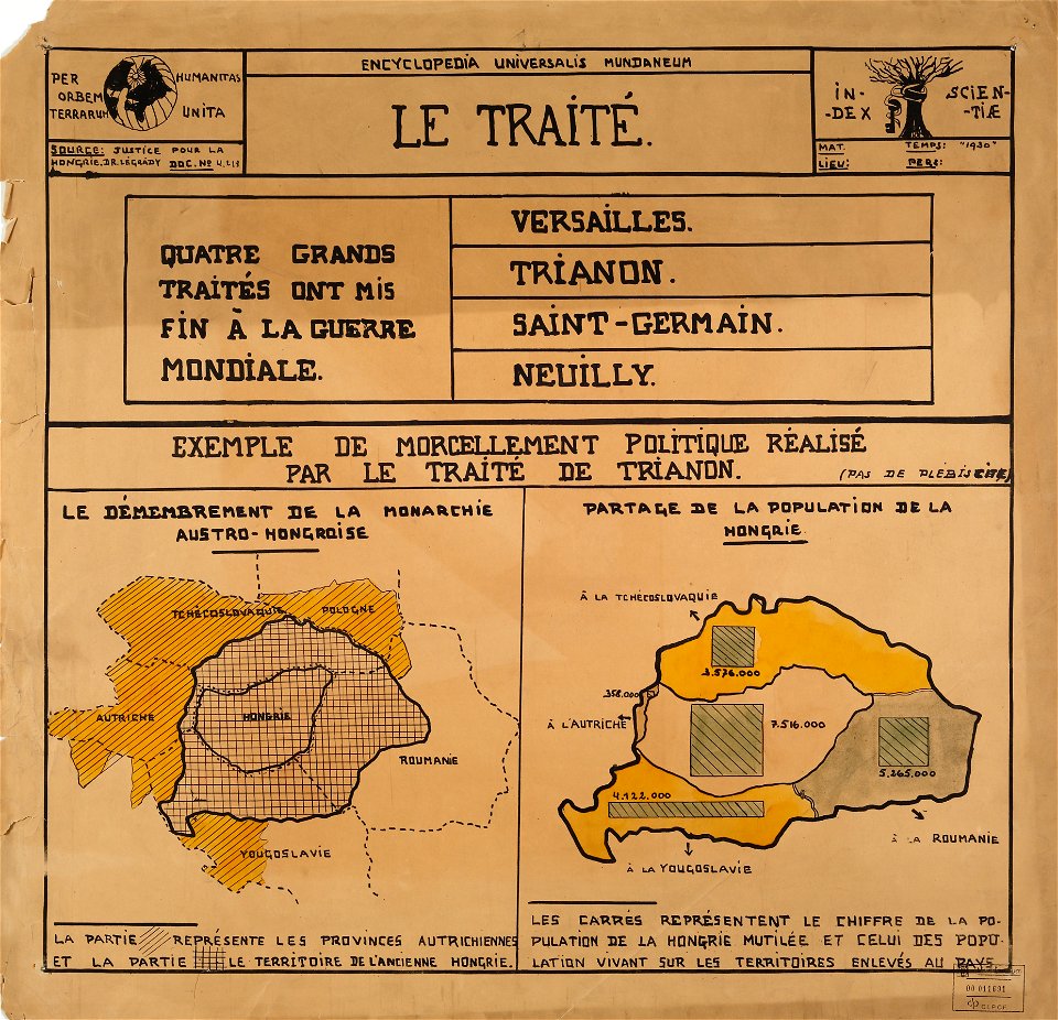
encyclopaedia universalis mundaneum
maps of the treaty of trianon
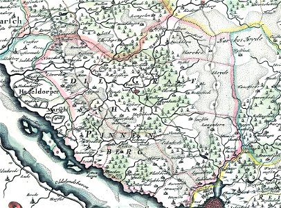
landtcarte von dem fürstenthumbe stormarn
maps of kreis pinneberg
national atlas of the united states
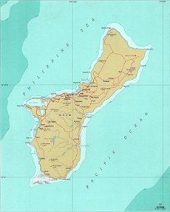
maps of guam
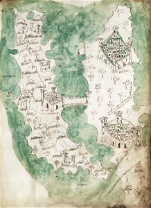
liber insularum archipelagi (royal museums greenwich)
maps of euboea
copper engraving
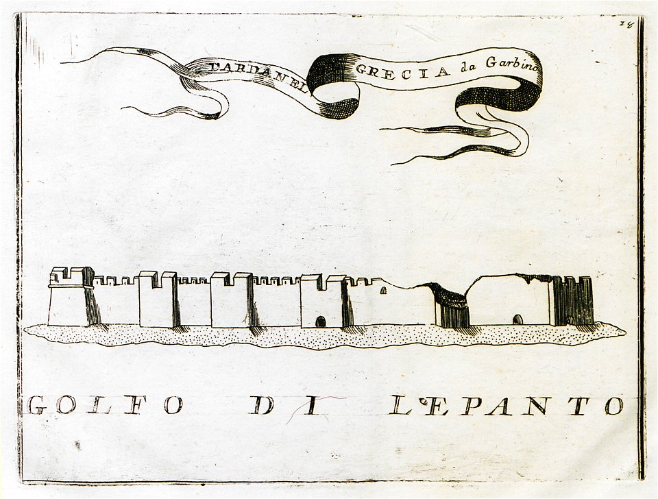
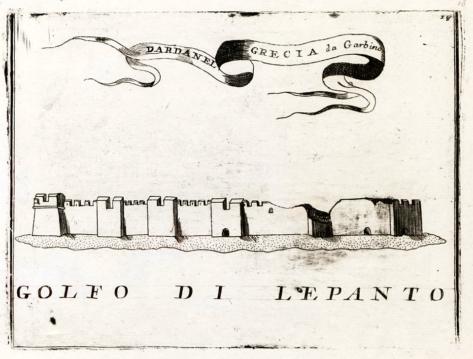
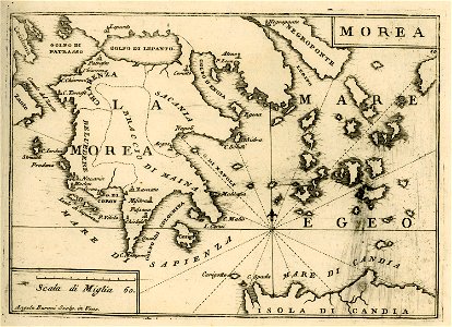
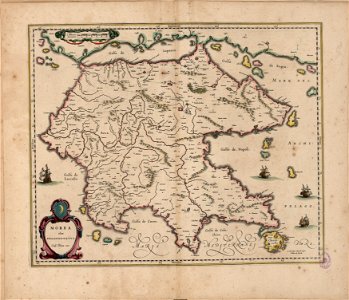
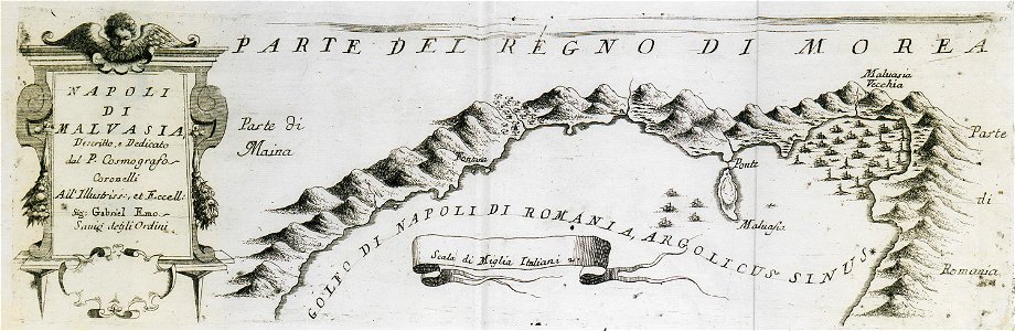
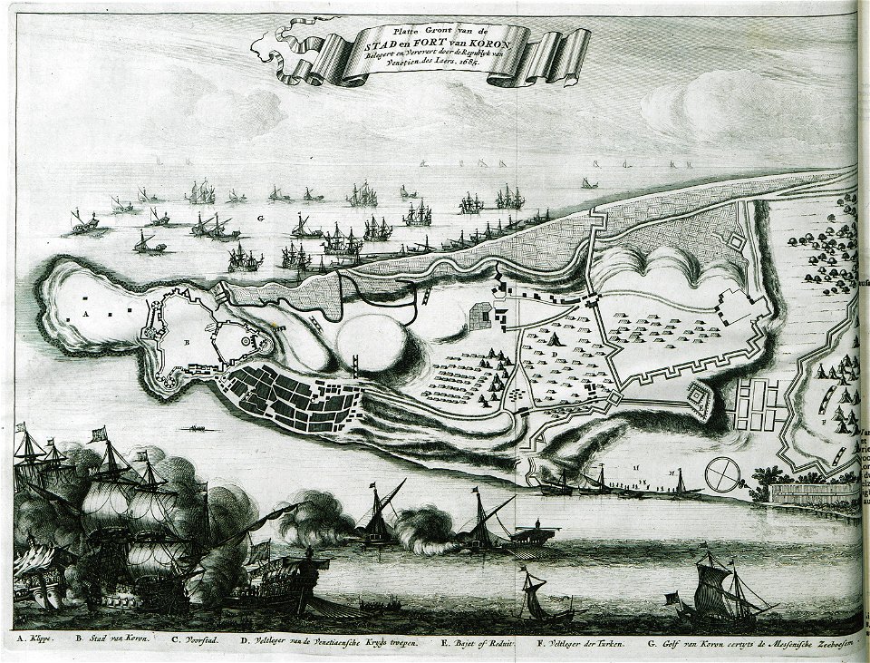
morea
liber insularum archipelagi (royal museums greenwich)
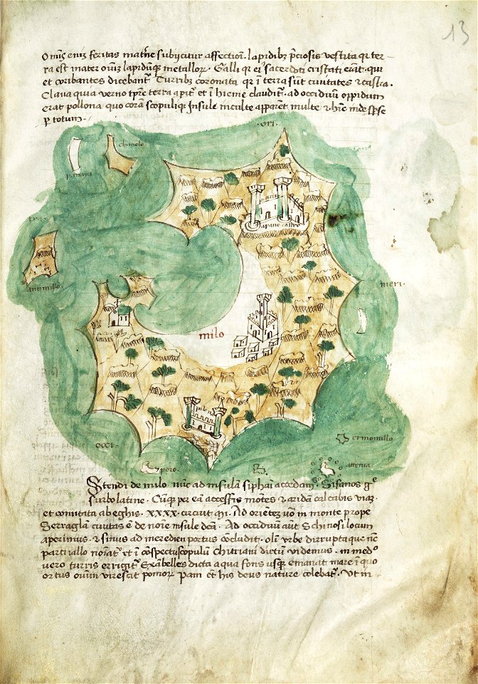
maps of milos
geographical illustrations by coronelli
old maps of the peloponnese
geographical illustrations by coronelli
old maps of the peloponnese
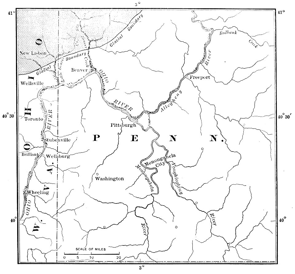
popular science monthly illustrations/volume 48
ice age maps
old maps of marseille
french navy bases
maps of paris in the 1730s
plan de turgot
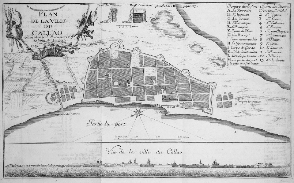
historical images of el callao
frézier's travel
old maps of greece
olfert dapper
the illustrated london news 1857
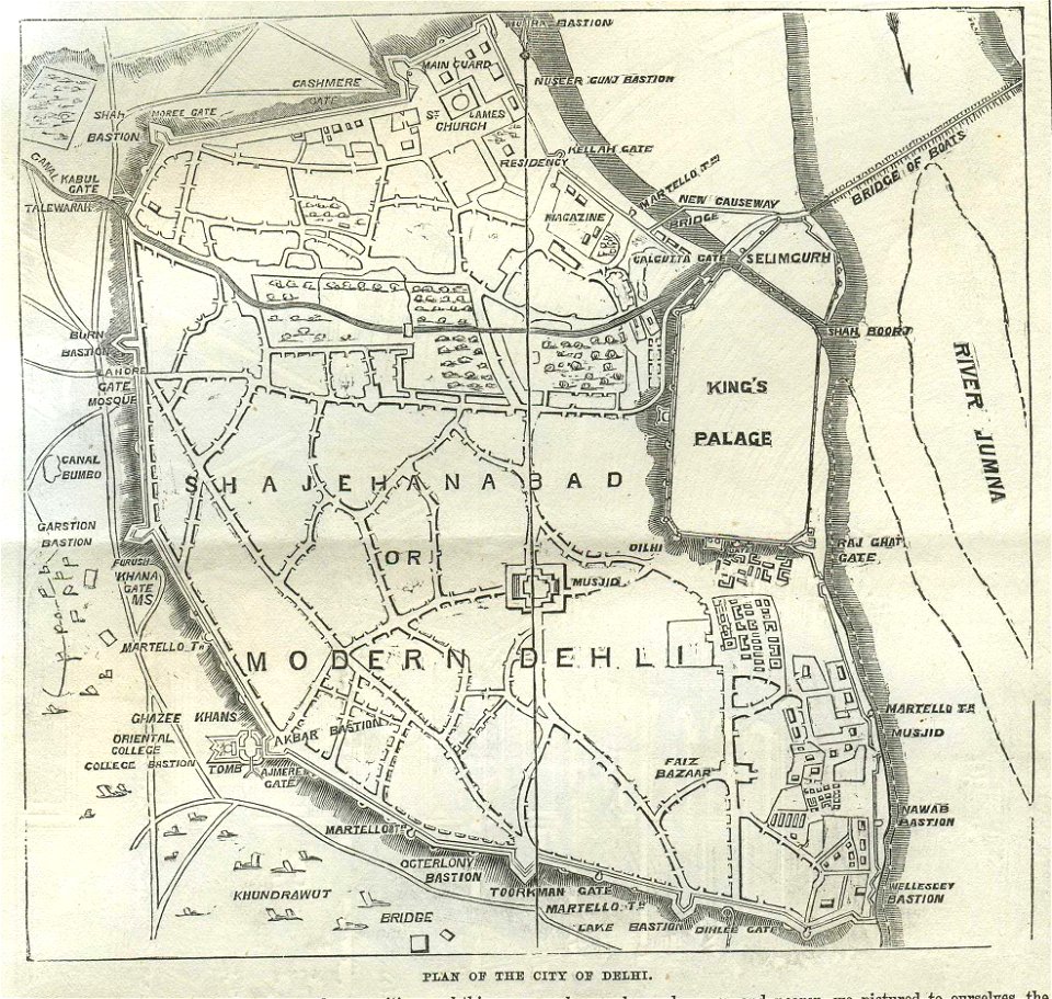
old maps of delhi
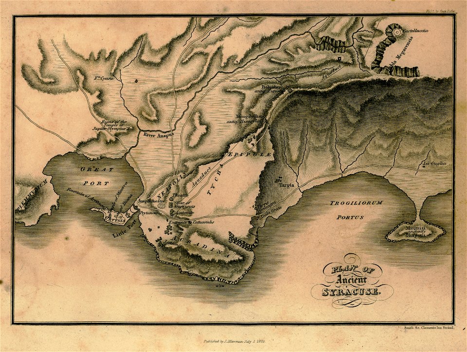
travels in sicily greece and albania
maps of syrakousai
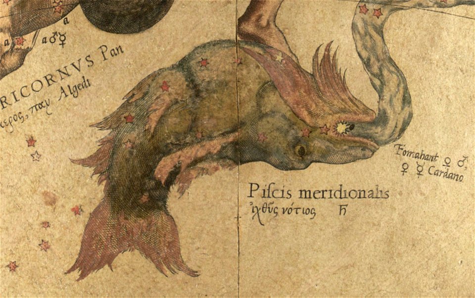
maps by gerardus mercator
mercator celestial globe
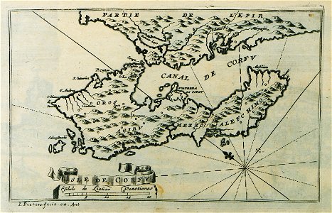
description des principales villes (1690)
old maps of corfu
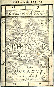
provided by landsbókasafn íslands
16th-century maps of iceland
provided by landsbókasafn íslands
16th-century maps of iceland
illuminated manuscripts in istanbul university
old maps of istanbul
provided by landsbókasafn íslands
maps by giovanni antonio magini
7401 - 7500 of 33,693
Next page
/ 337